“The Netherlands is a large delta, which without dykes, canals and waterways would be a swampy transition zone between the sea and the higher sandy ground. The ongoing struggle against water laid the foundations for Dutch democracy and a culture of consensus. The Netherlands has probably the most advanced and complete water management and protection system anywhere in the world.” We have seen so much of this in our travels throughout The Netherlands and you only have to see the boat movements in tight marinas to understand this attitude of compromise consensus and camaraderie to understand how the Dutch make life work in this time.

The blue wave of boats
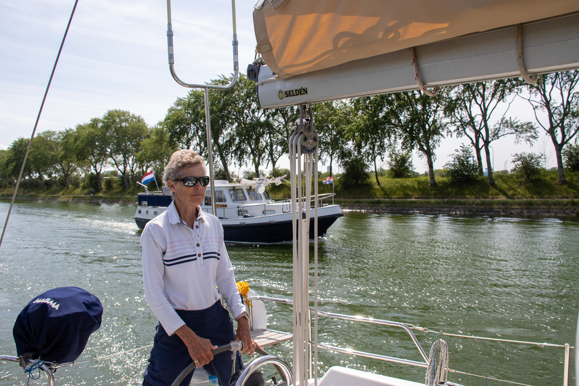

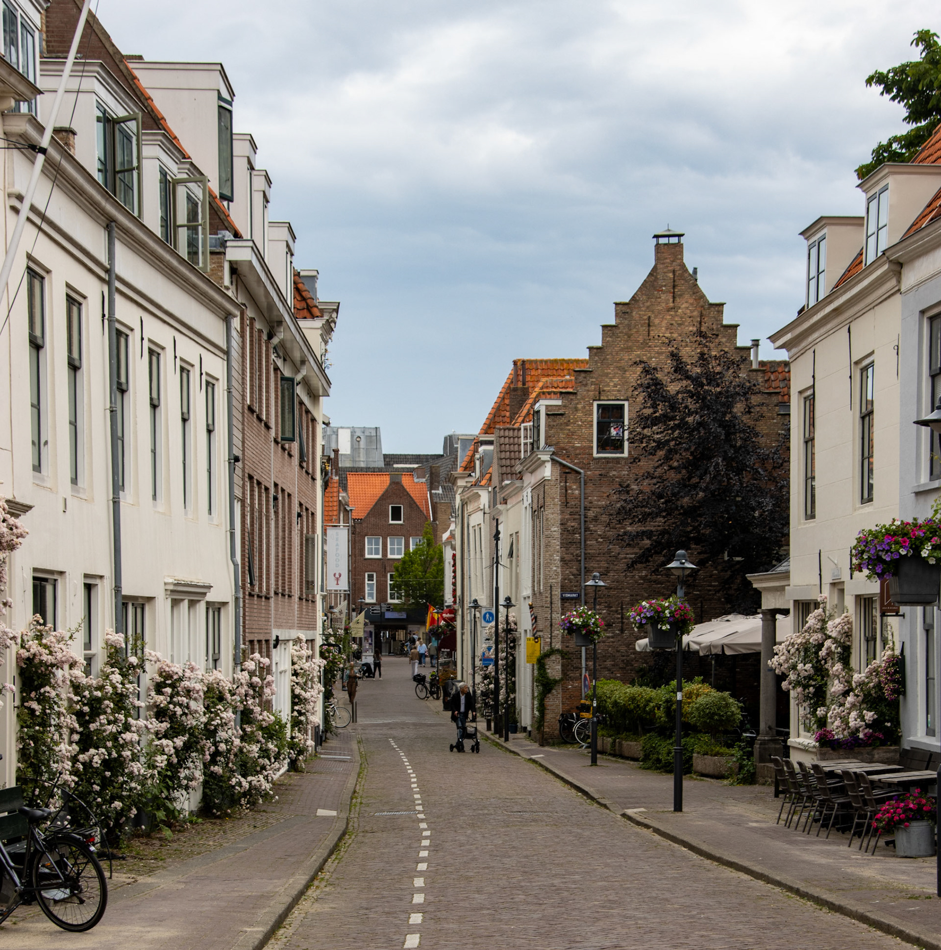
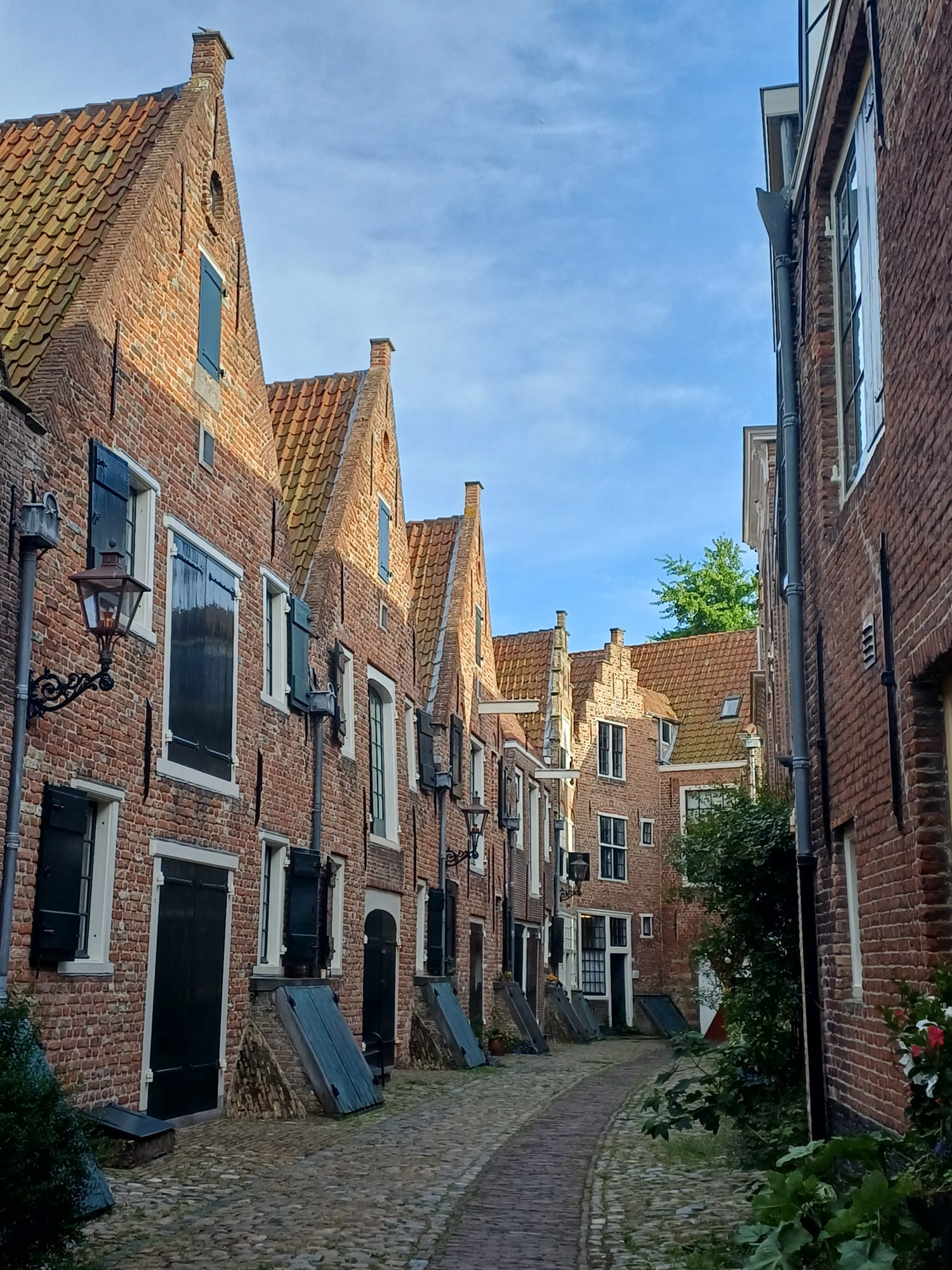
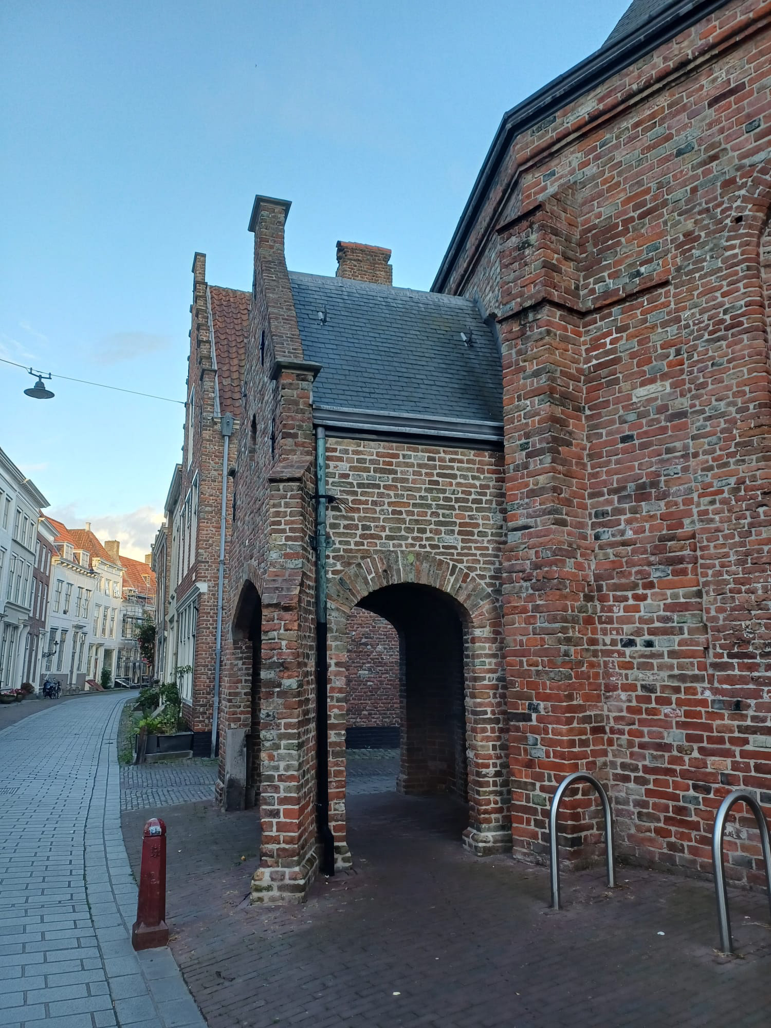
On 1st June we crossed the Westerschelde from Breskens to Vlissingen to tackle our first Dutch lock into the canal system that would lead us further into the Delta Region of Southern Holland. We arrived in time and followed a knowledgeable Dutch boat owner through the locks and onto the waiting pontoon for our first bridge on the Kanal door Walcheren. The bridge was being painted and would only open at 4.30pm and we had to join the Blue Wave. A small convoy of yachts and motor boats travelling the canal. We followed the Blue Wave and peeled off to Middelburg where Nick wanted to spend his birthday. This is the capital of Zeeland province and we were enchanted to find the beautiful old buildings, paved streets, an excellent shopping centre and some very interesting museums. The harbour is run by WV Arne sailing club and we were met at the waiting pontoon by a super harbour master who allocated us a box berth through the tiny bridge in the old part of the city. This was a first for us and we prepared well as there was a definite wind influence for Nick to practice this delicate manoeuvre. Our stern lines were set, our rear bumper was attached and our forward lines all ready. We made it safely and were quite pleased with our first attempt!
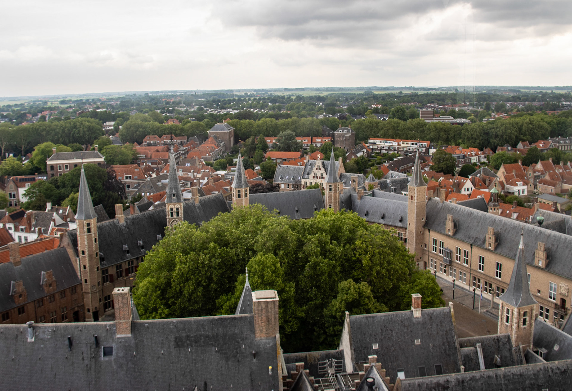
Middelburg wan an important East India Trading Company port in the Dutch Golden Age (roughly from 1588 – 1672) benefitting from the lucrative trade of the VOC and the peace brought by the ending of Spanish rule. Seeing the city today it is difficult to imagine the waterways and open seas that made it such an important trading post. And we often marvelled at the pure seamanship of the captains of these vessels navigating in tidal waterways and shifting sand banks in their sailing vessels.
We climbed the 90m Lange Jan tower for a birds eye view of the surrounding lands and were lucky enough to see Peregrine chicks on the webcam installed to monitor their development. This tower belonged to the former Abbey which dated from 14th Century but was badly bombed in 1940. It has been meticulously restored along with the magnificent 15th century town hall and they enhanced the air of graciousness that the old buildings, open squares and beautiful canal lining houses gave to that city.
We also visited the Zeeuws museum which was a celebration of the work of young people venerating the crafts, paintings and statues of previous generations. Museums all over Holland are trying to keep the history of their country, people and events alive by not deviating from their essential truths but updating exhibitions both temporary and static to excite the visitors both young and old. I found it a fascinating approach to preservation whilst offering a long term future to the “stuffy” museums of the past. There were fascinating displays of the old crafts, tapestries that covered huge walls, china from China and the Far East and a very moving set of paintings depicting the ravishes that the flood waters had on the country in earlier centuries. So often caused by the harvesting of peat for salt production and poor maintenance of the Dykes meant that the polders were insufficiently protected. Land reclamation even then, during the 15th and 16th centuries was a feature of the Dutch way of life.
We stayed long enough to enjoy the big market on Thursday and witness a jamboree of old Dutch barges, including a steam driven one, passing through the town onto a Festival further South on the canal. Such an interesting place but we needed to leave and continue our travel.

Middelburg


Lange Jan Tower



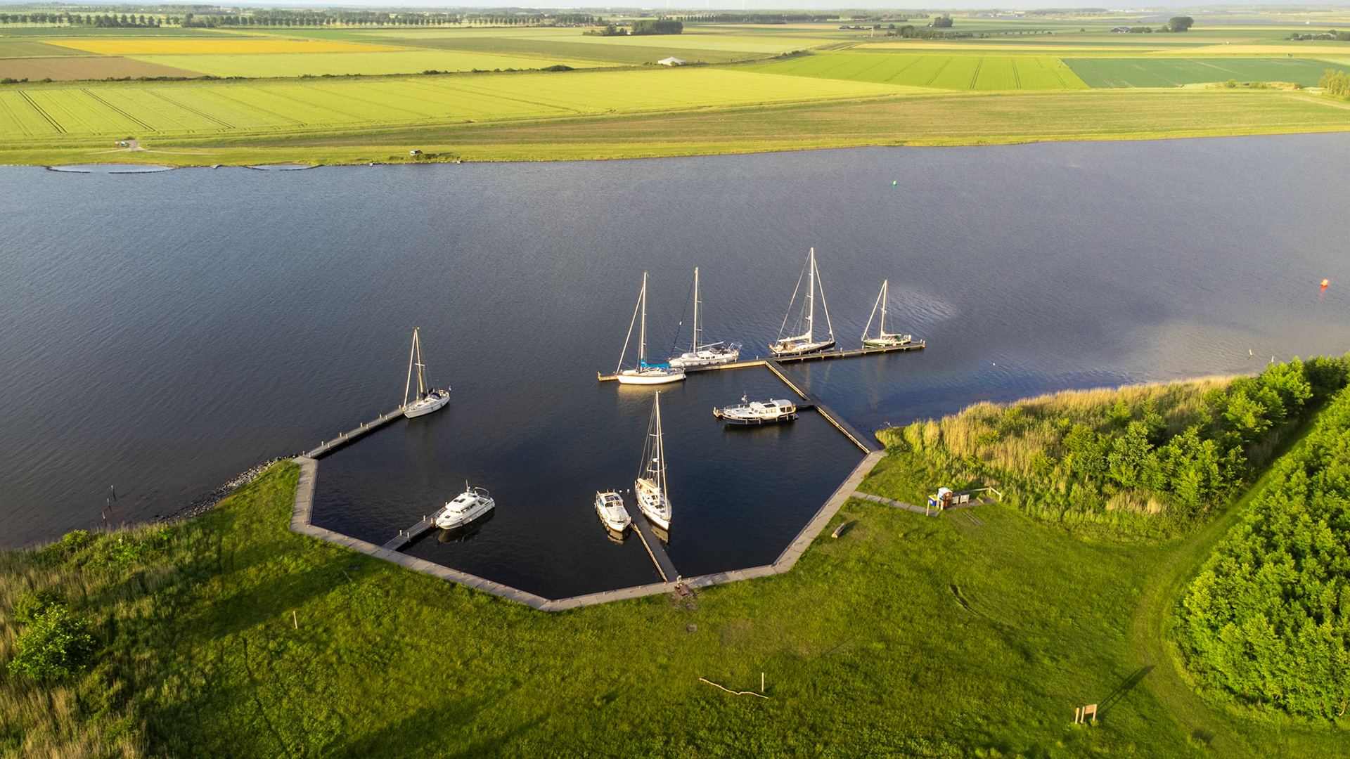
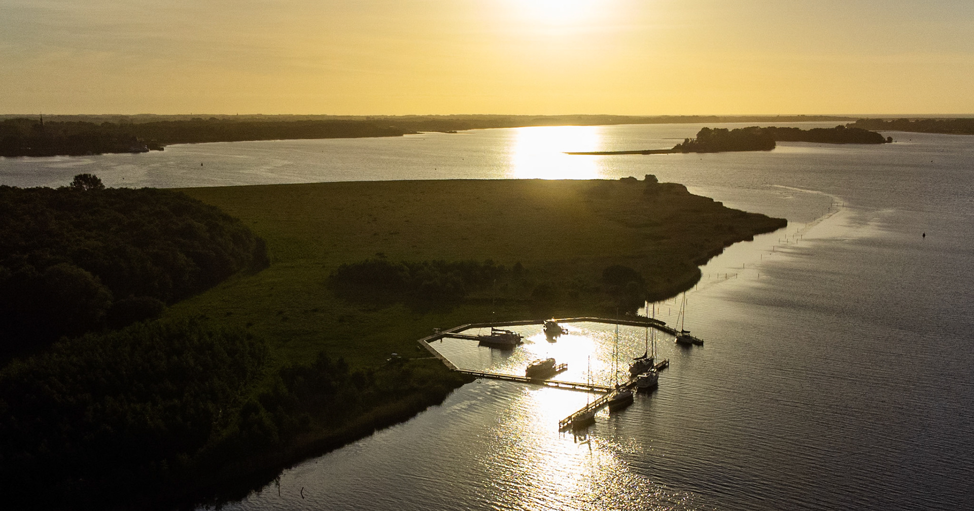
Exiting the Walcheren canal on 5th June, we entered the Veerse Meer. A delightful fully enclosed non tidal salt water lake. It is protected from the North Sea by the Veerse Gat Dam and the waters of Oosterschelde by the Zandkreeksluis.
Veerse Meer.
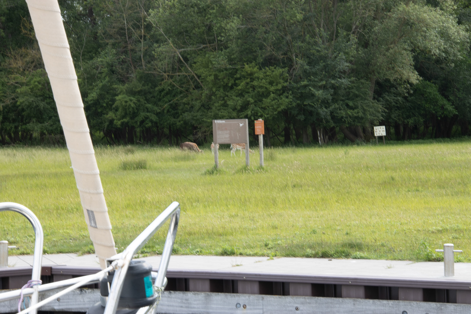
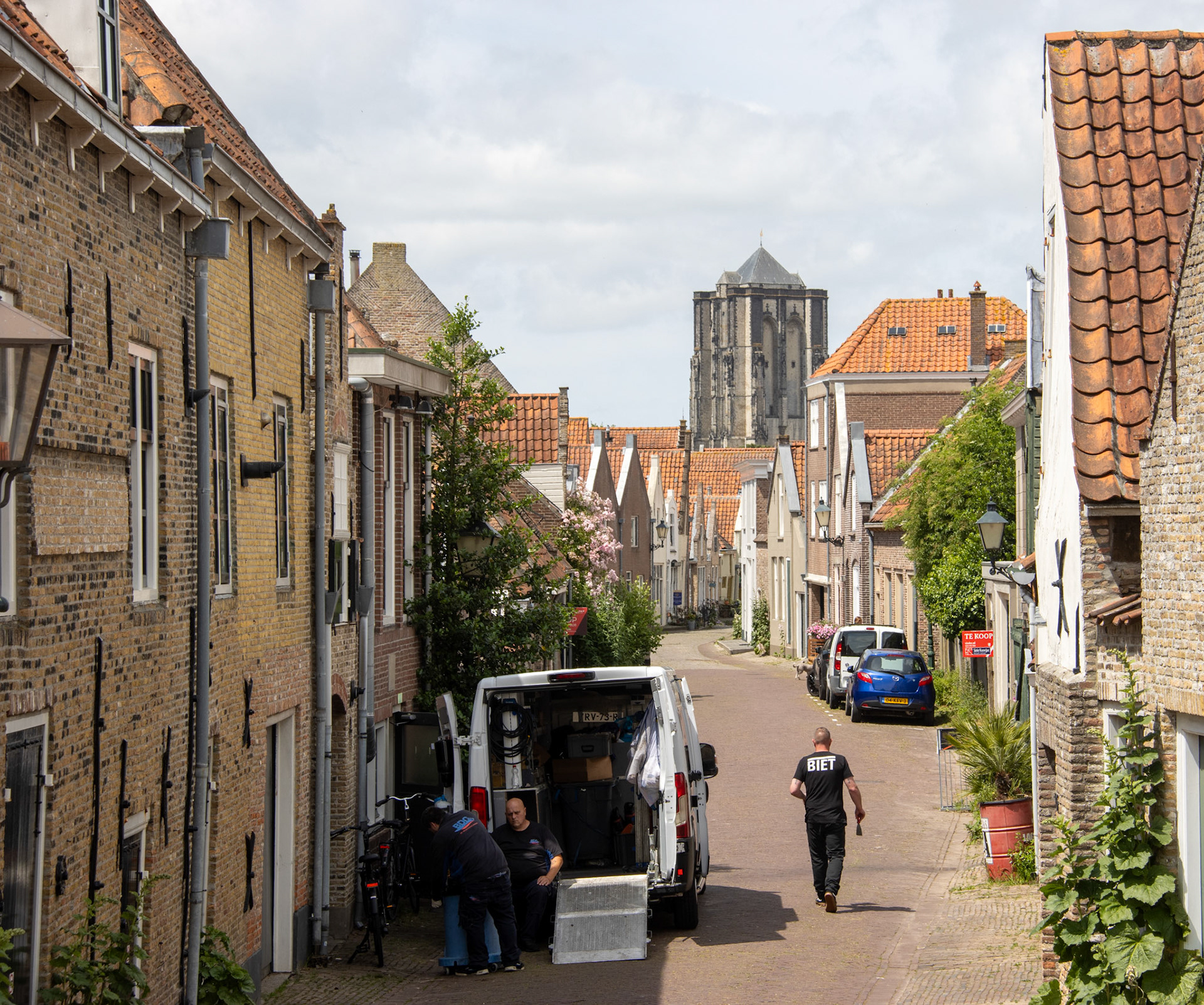
We stayed a few days in the Veerse Meer enjoying the tranquil islands with deer grazing down to the waters edge and als staying in the old city of Veere. An exploratory sail up the 7M long Meer reminded us of the need, even in our Southerly, to stick to the channel markers. Even 1m outside the channels the steep reduction in depth trapped the unwary in thick gloopy mud. Thank goodness for a lifting keel! Veere is only a tiny town but it was once important as a seaport because it dominated the wool trade. Its golden age began in 15th century when the local lord married Mary Stuart, daughter of the King of Scotland. There remains a few tiny shops where you can purchase Scottish woollen items. The town turned to fishing and did rather well until the Veerse Gat Dam was built as part of the Delta Flood scheme after the devasting floods of 1953.


Veerse meer

Veere


Alternative canal crossing

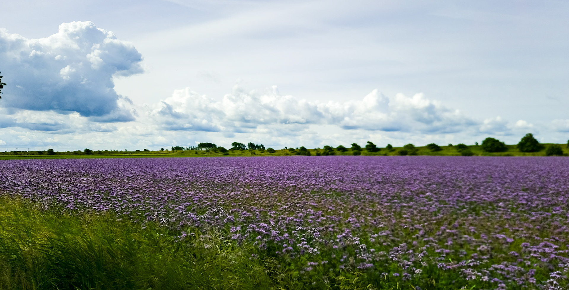
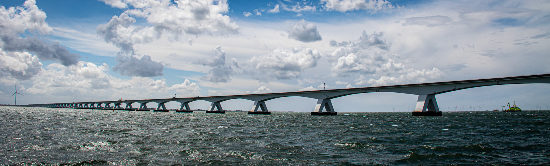
After a cracking headsail only sail up the Veerse Meer we left through the Zandkreeksluis and entered the Oosterschelde intending to travel to Zierikzee to replace our now defunct water pump. It was a breezy sail and we just missed the 1305 bridge and had to sail around in blustery conditions for an hour before checking through the Zeelandbrug and fighting the tide to get up to Zierikzee. The flood and ebb streams in the Oosterschelde can reach a good 2.5knts and wind over tide gives a hefty Solent-like chop to the waters. We were also at Springs so experienced the full strength of the tidal influences in 20Kts of wind. The Schelde itself is a National Park and the dynamic world of shifting mudflats, salt marshes and inner dyke swamps means the waters are ideal for the birds to feed and there are many different kinds of plants and animals that live in these clearer waters.
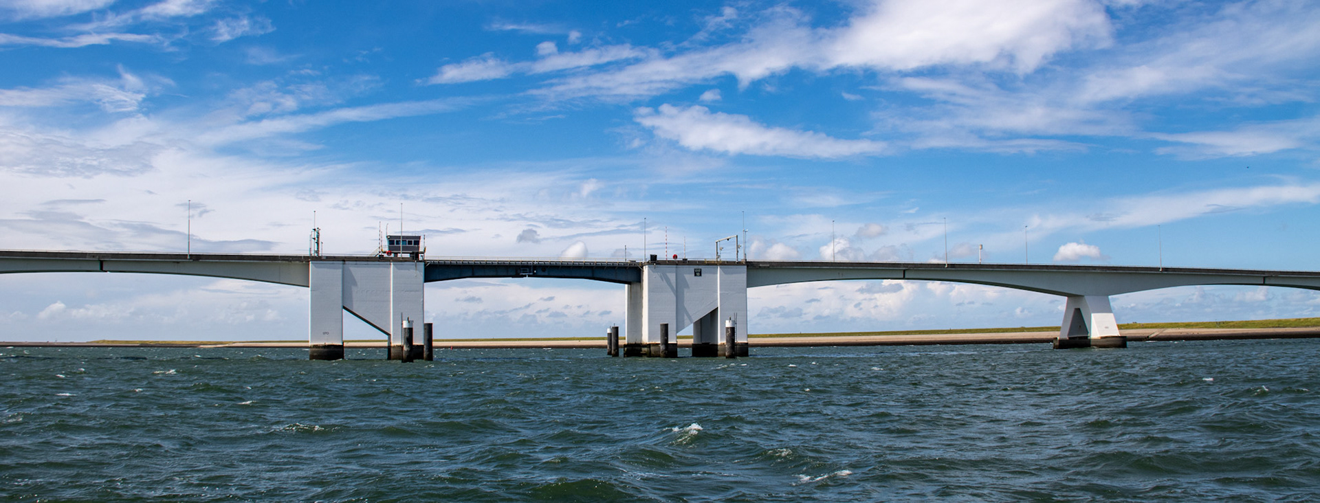
Zeelandbrug
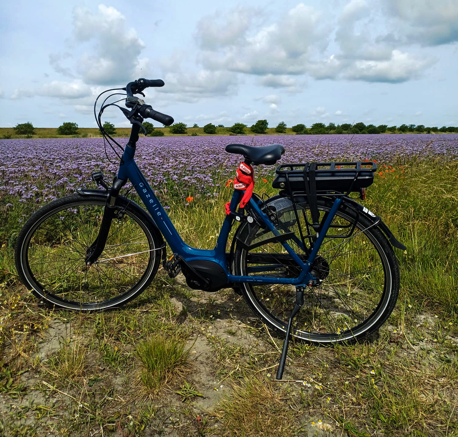
We made it into Zierikzee and stayed in another box mooring at the local yacht club. Again we were made to feel very welcome and in the end we had to stay for about 8 days as we awaited parts for the new water pump and associated bits from TecTanks. It was windy for most of our stay but we did manage a lovely bike ride (electric) out to the Watersnood Museum. What an incredible place. It is built within 4 of the cassoons that were used to help stem the devasting flood waters of the 1953 floods. The museum told the story of the floods, how people responded and the aftermath and what the future holds for The Netherlands as a whole. It was the most fascinating museum we have ever visited and in the knowledge centre there were 3 main questions posed:
How can we best live with water?
How can we use it effectively?
And how do we provide water with the space it needs.
There were also some salutary thoughts for other countries with low lying coastlines in this time of climate change and sea water levels rising. What struck we particularly was the comment about the UK:
“As an island Great Britain has a longer coastline than India and much longer than The Netherlands. Because of this, water policy in Britain is debated differently. Whereas the Netherlands regards water as a national problem, and everyone expects to pay, in Britain floods are partly viewed as an individual risk against which citizens themselves should take precautions. At a time of increasing rainfall and rising sea levels, this raises difficult questions. Why do coastal residents pay for motorways and train lines in the rest of the country but the rest of the country does not have to pay for coastal defences? It is also important to consider how popular tourist destinations such as Yorkshire, Somerset and the lake District are not spoiled by the infrastructures needed to keep the areas safe. One to ponder I think!
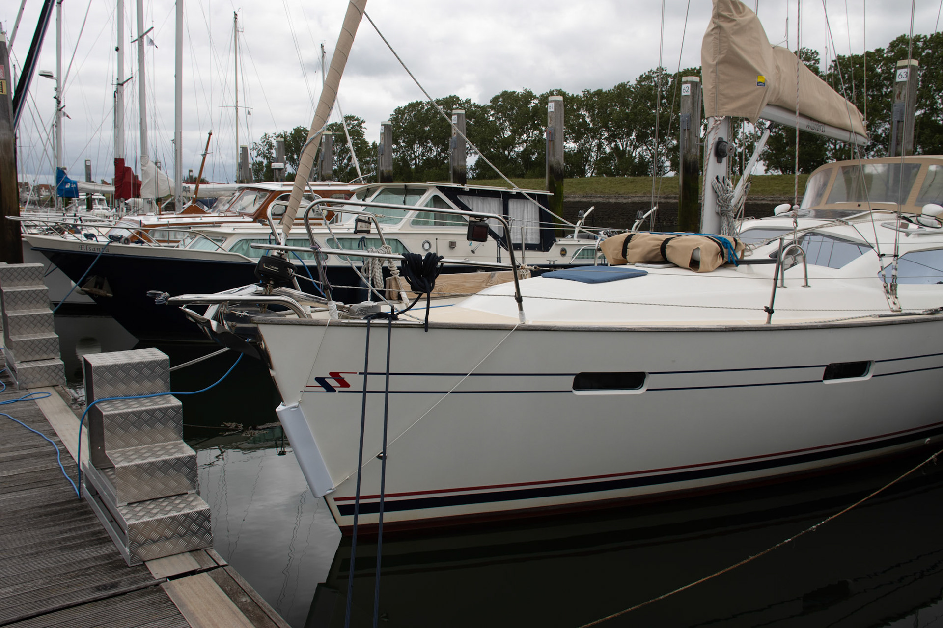
At Zierikzee yacht club
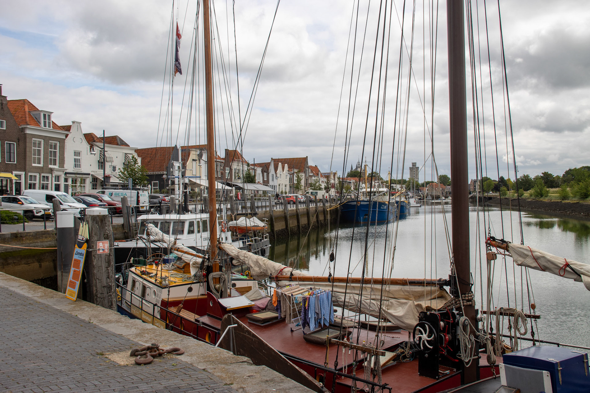
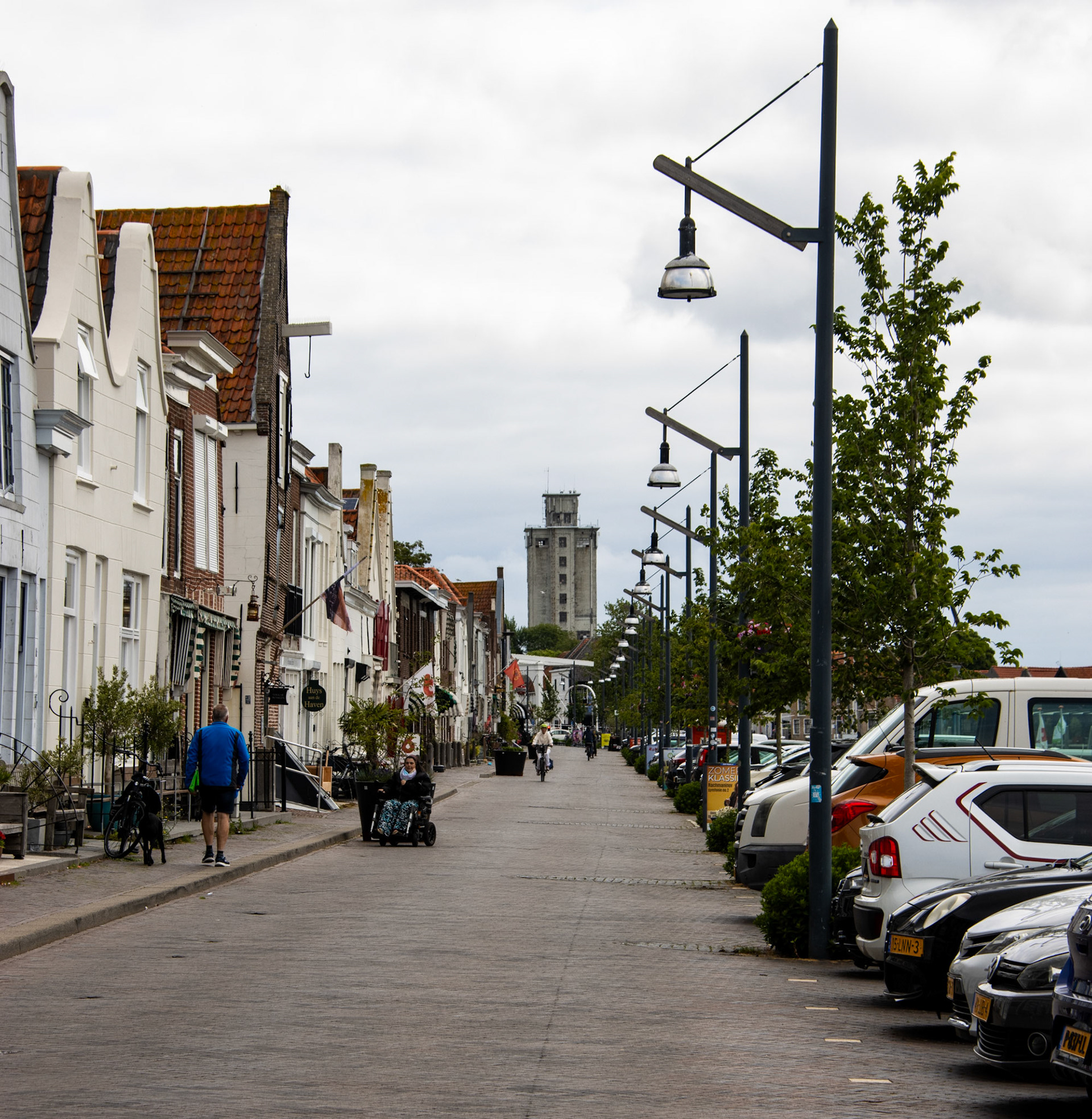
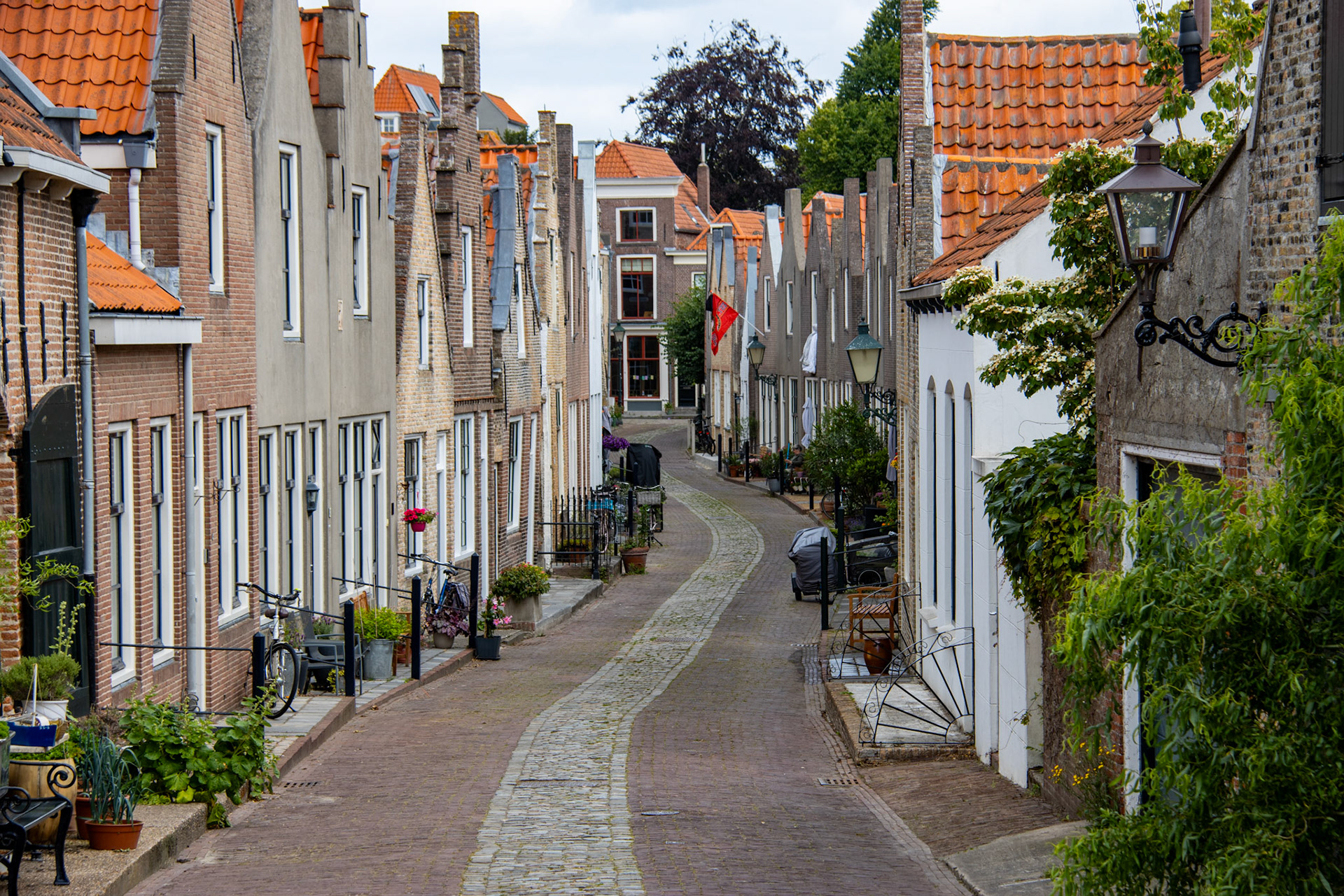
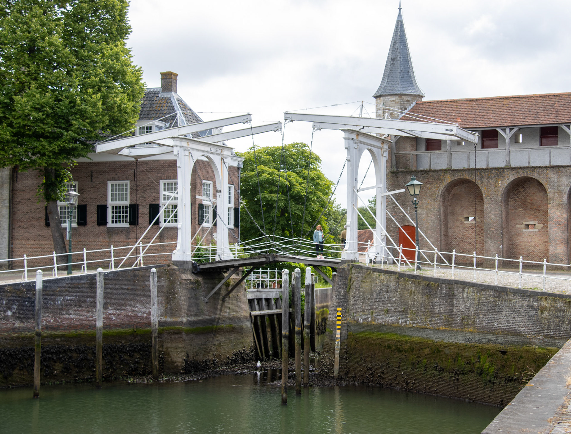

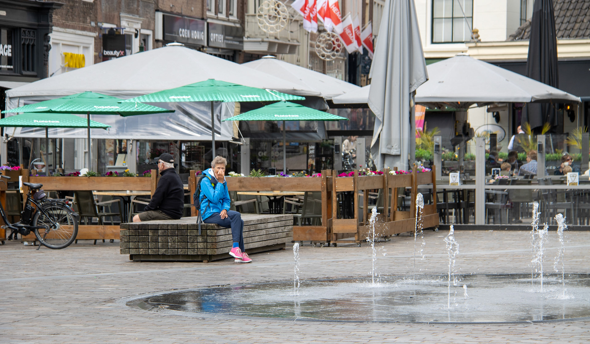

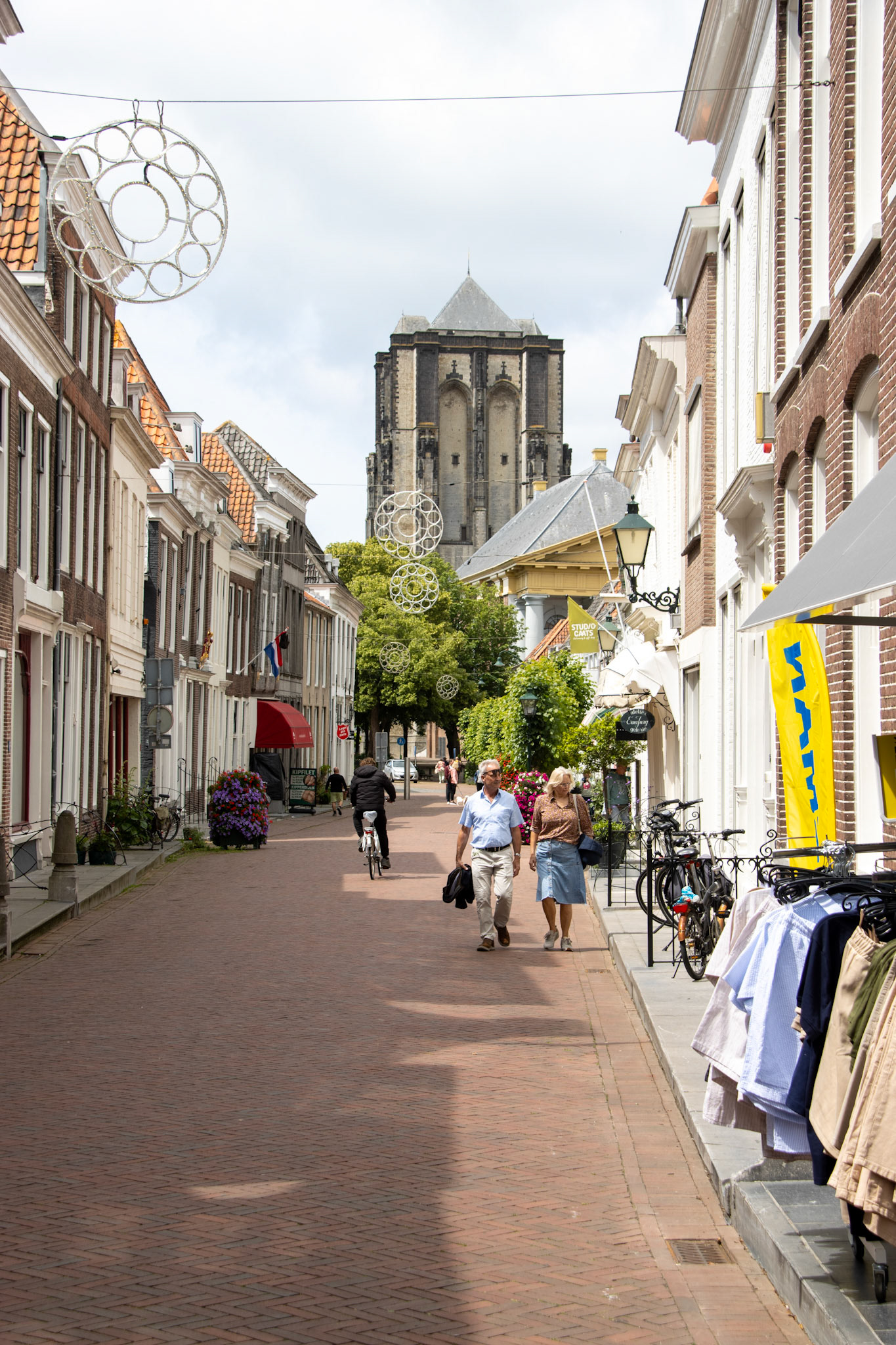

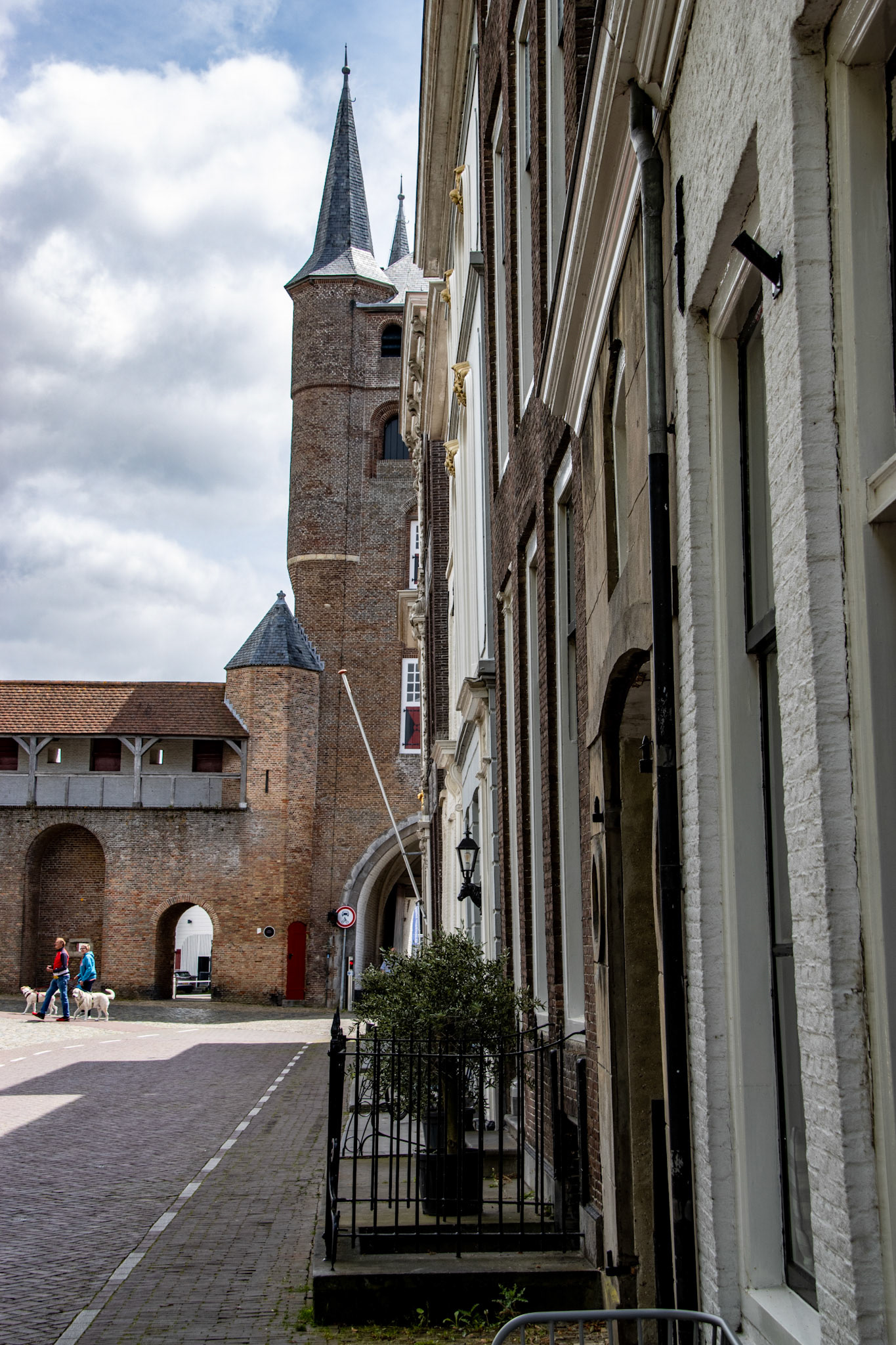

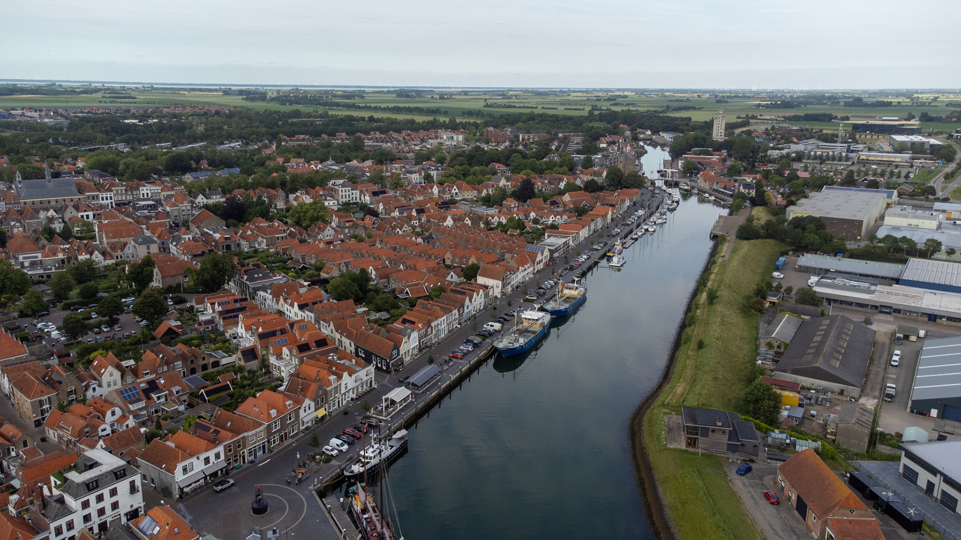


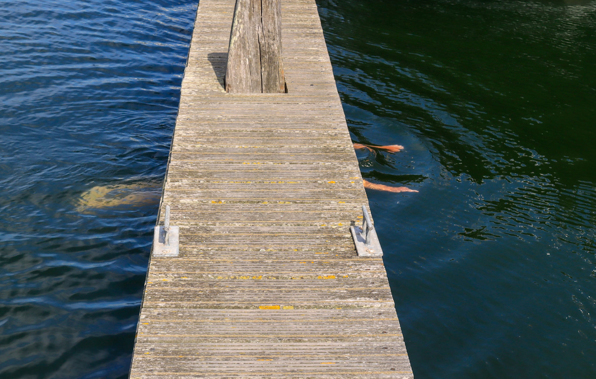
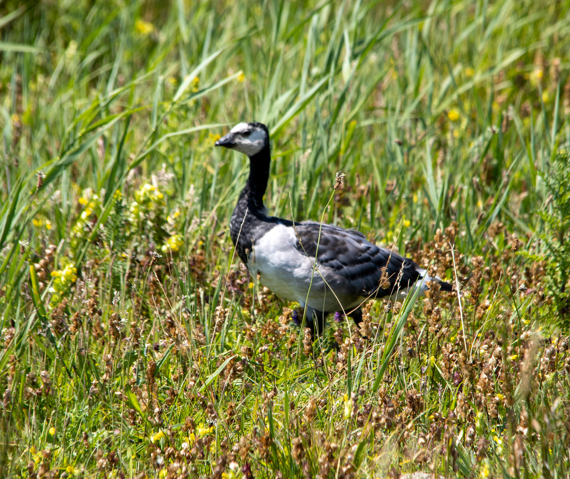
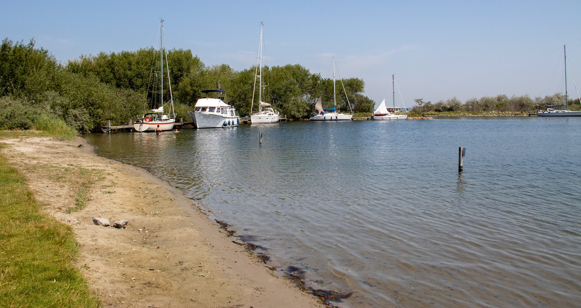
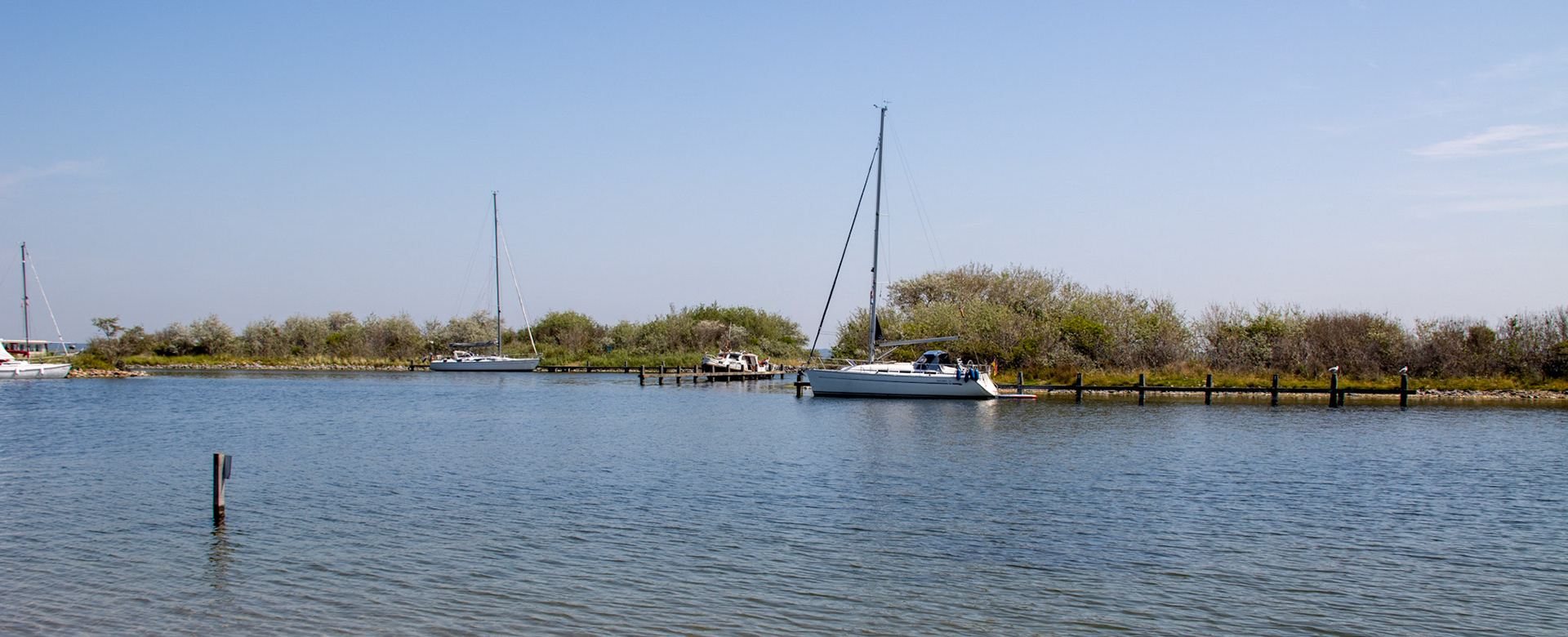
After our trip to the museum and a couple of domestic days we were getting cabin fever so sailed up to the Schelphoek anchorage past sleeping seals and swelling sand banks. It was a windy anchorage but we knew we were well stuck in and headed back the next morning to pick up our final piece of new kit before heading up the Mastgat canal to the Grevelingenmeer and a major heatwave affecting all of Europe. Thank goodness we were in this beautiful salt water lake for the weather. It is also somewhere where for 23 euros you can buy a ticket that allows you to moor on the small islands for up to 3 days in one place for a whole week. Its waters were clear as there is no industry on the area and shallow waters meant they were warm enough for us to swim in. Even Nick!! We visited Mosselbank and then the tiny beautiful Stampersplaat for 3 nights. Witnessing the most spectacular thunder and lightening storms I have ever seen at sea. Paddleboarding and swimming and finding shade where possible kept us reasonable sane and then we sailed up to Ossehoek. Not our favourite stop but to replenish our dwindling supplies of food and water we only stayed one night then went into Brouwershaven. Another lovely old town we motored up right into the centre and spent a couple of days exploring, replenishing and taking an extremely hot walk out into the local countryside. Our penultimate night in the Grevelingenmeer was spent in Archipel, a beautiful little harbour that was a haven for birds. Even got chased away on my paddleboard from the edge of one tiny island by a screeching seagull as it tried to fend off all comers from its young. I nearly fell off the paddleboard trying to back paddle quickly into the oncoming ripples.

Schelphoek anchorage
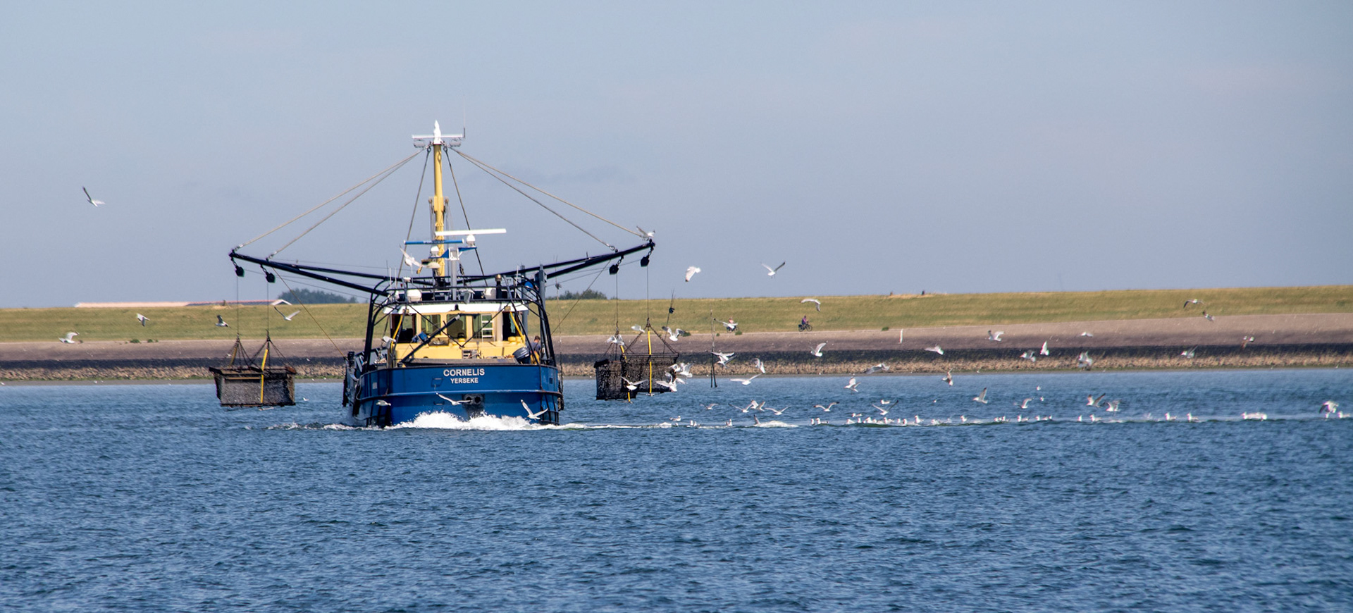
Musle fishing boat
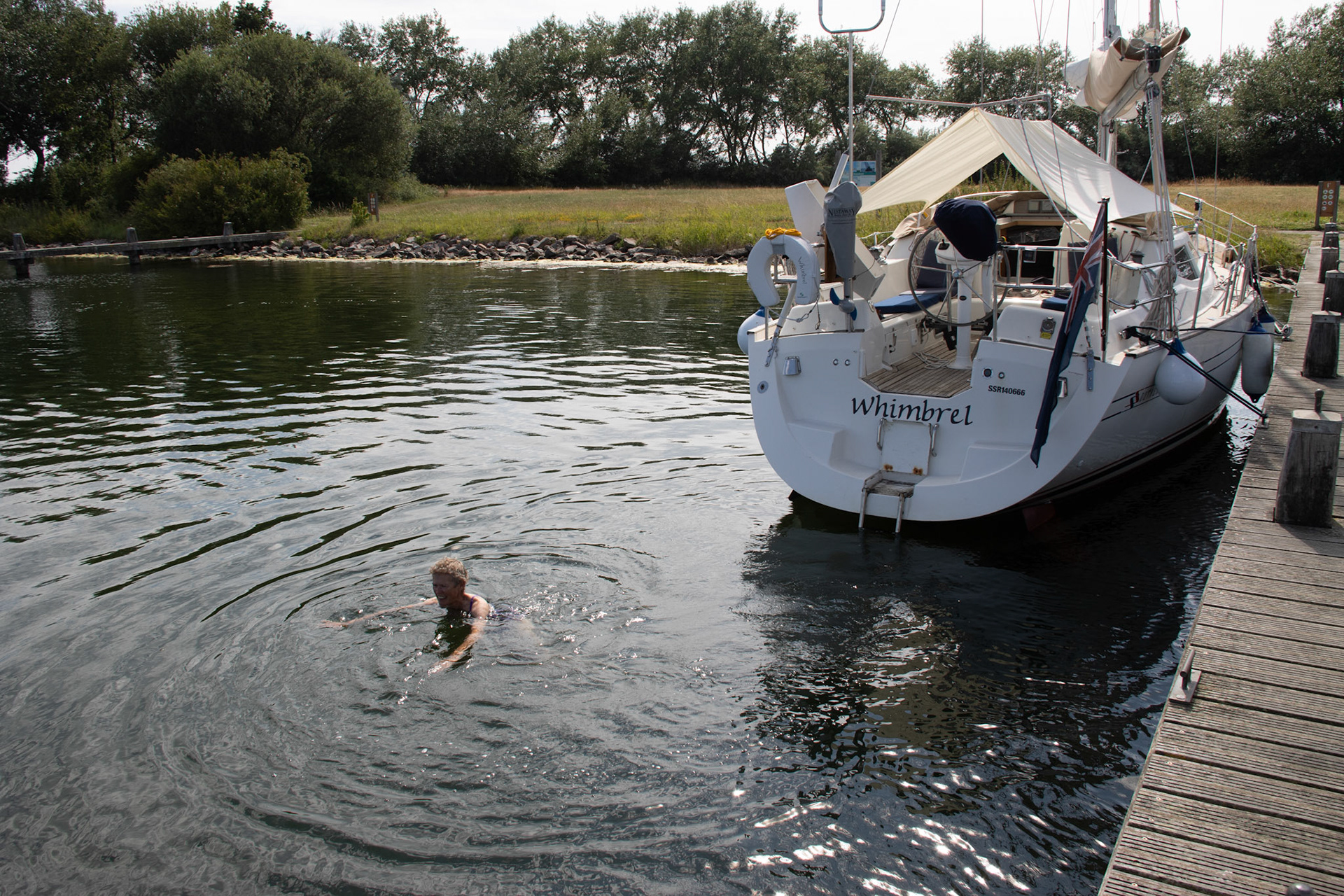
Mosselbank
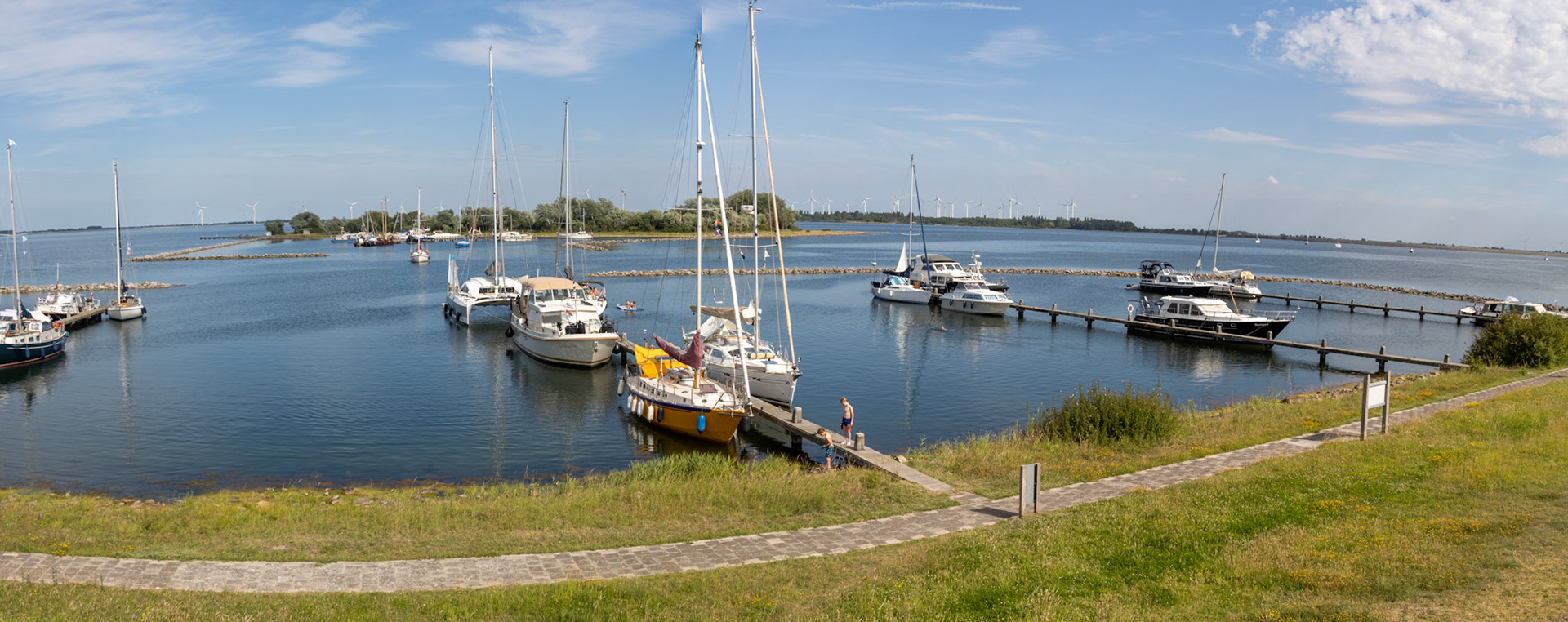
Mosselbank

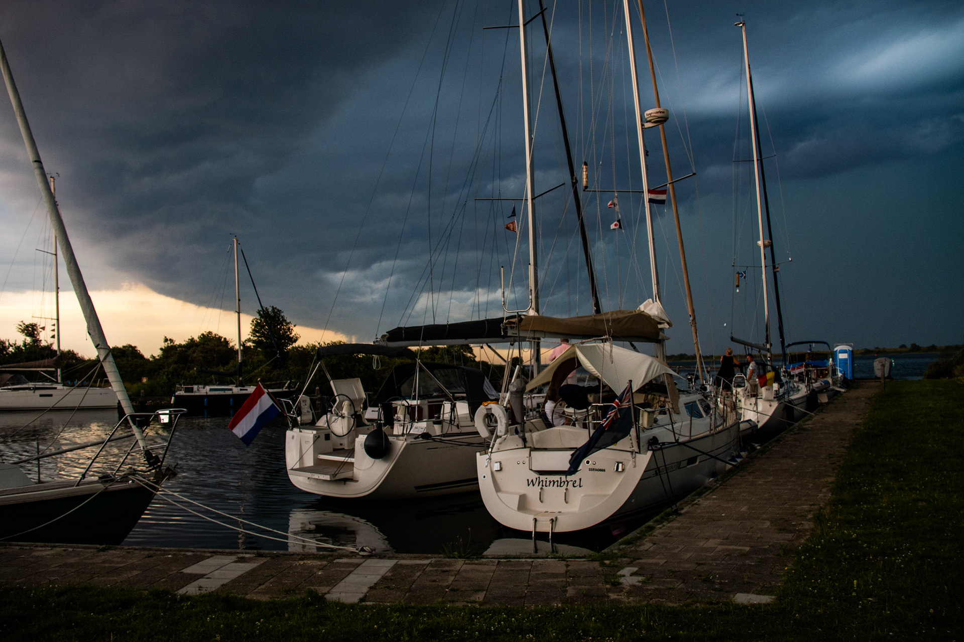
I think it is going to rain!
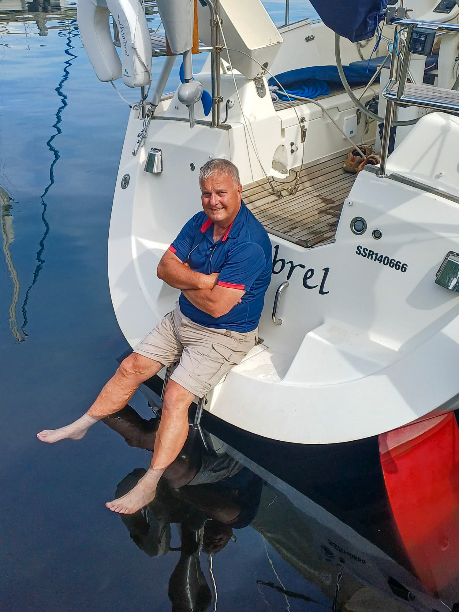
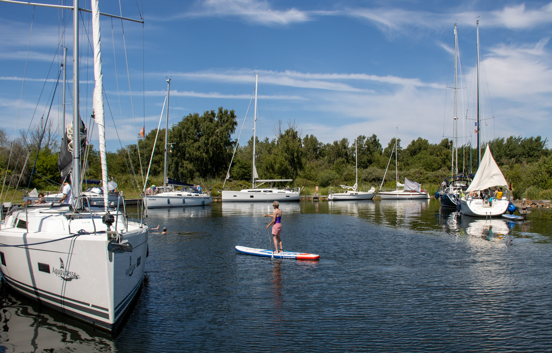
Stampersplaat

lots of boats

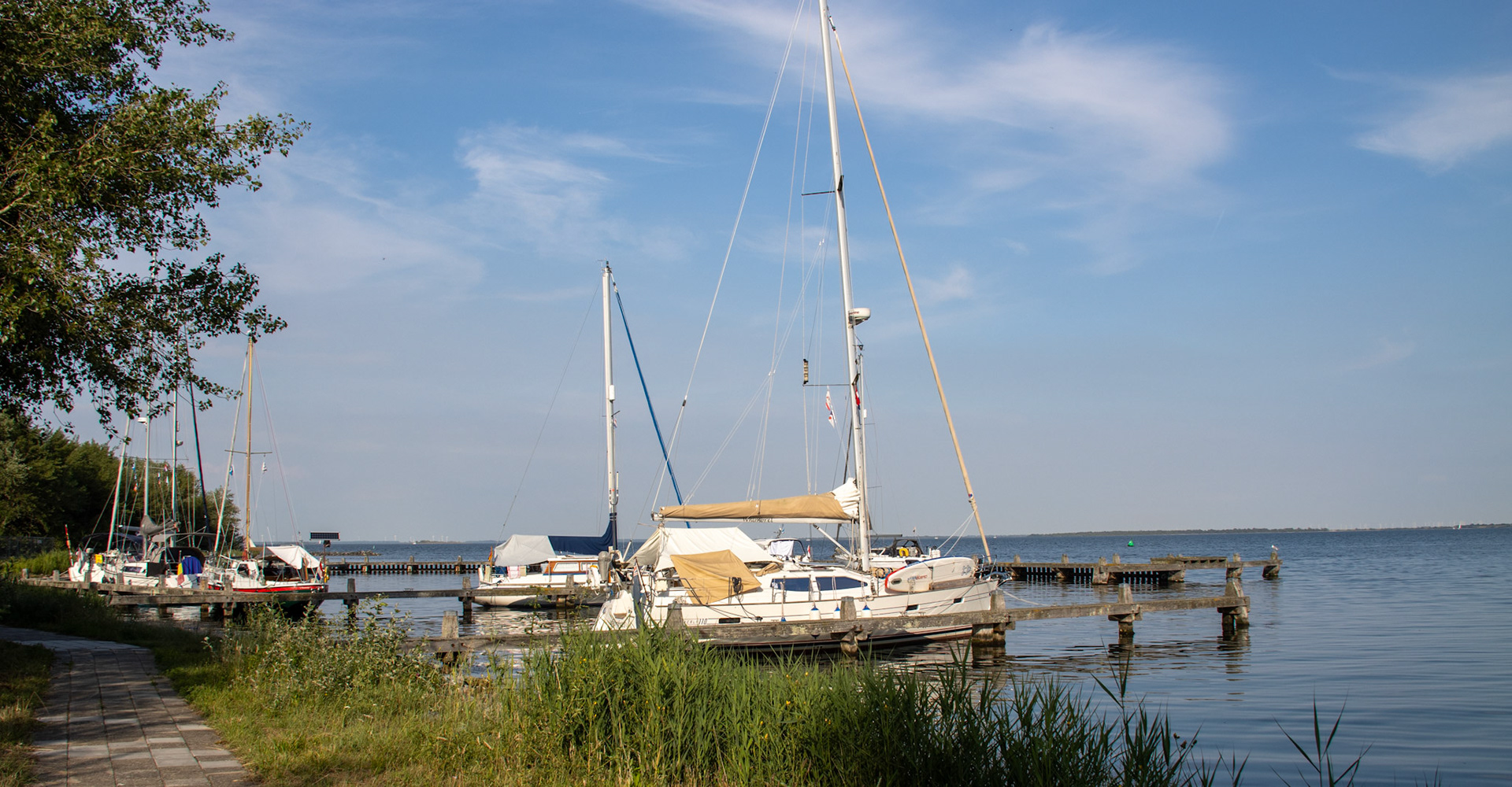


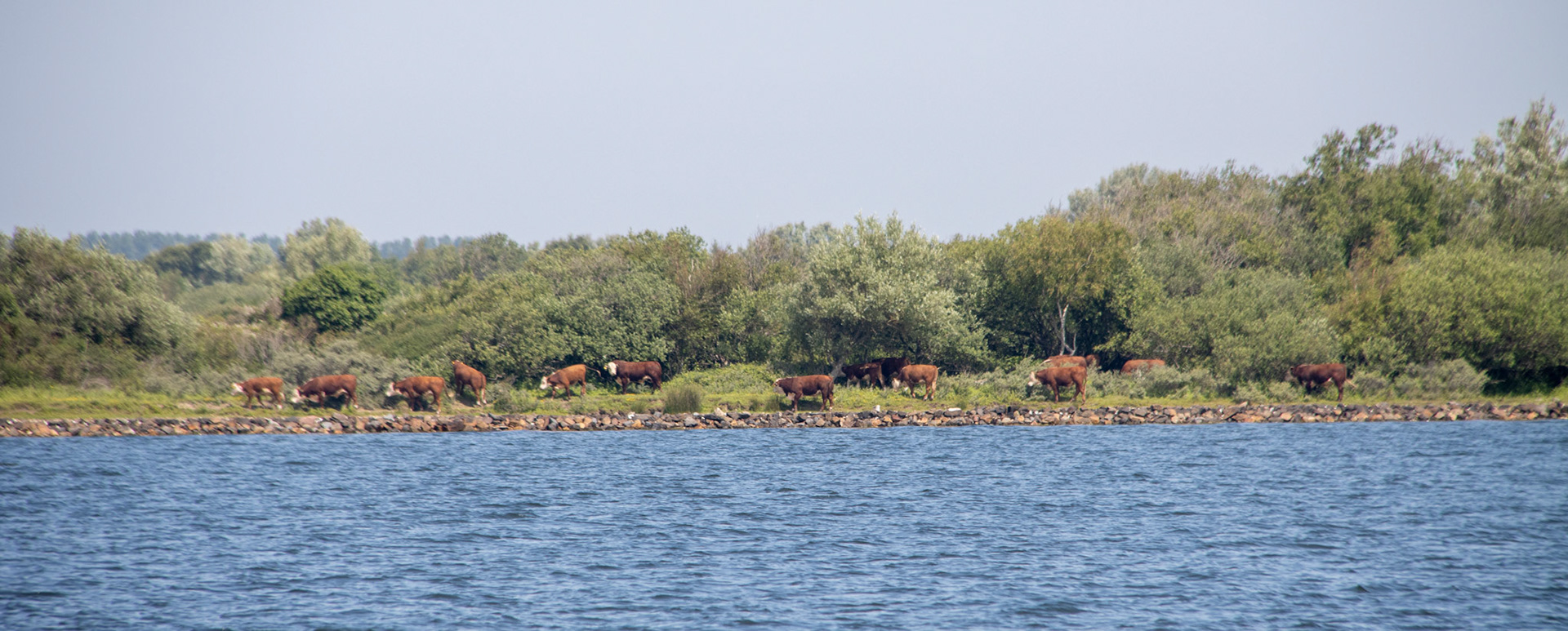
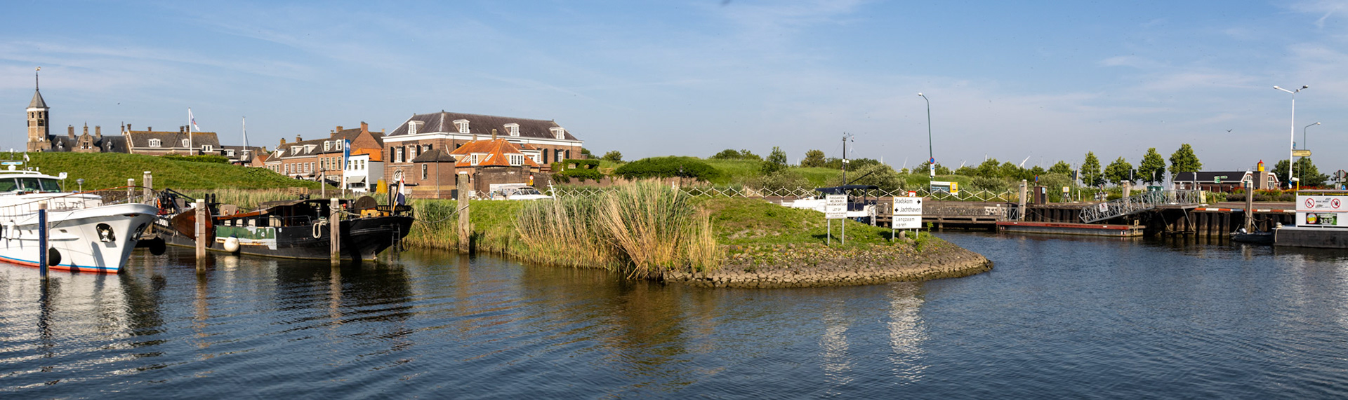
Our last night was spent back in Mosselbank after a leisurely sail and the next day saw us motoring towards Willemstad. We had to navigate 3 sets of locks to get through the Volkerak before heading into Willemstad. This 10 mile long 1 mile wide waterway lies between the 2 massive locks at the heart of the Delta as its links the Schelde with the Rhine. It also has a bridge in the “Sport” lock that usually has a water clearance height of about 18mtres. A tad risky for us at 17 but we thought we would be OK as they display the actual clearance as you approach the bridge with room to turn back if necessary.
Archipel


Will we fit!

Wind turbines everywhere
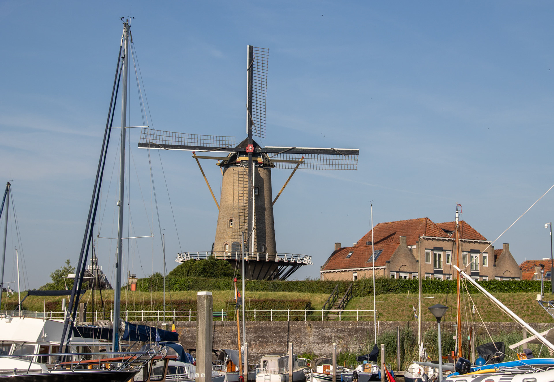
It is now my birthday and again in was another blisteringly hot day but we did not feel inclined to swim in this harbour. Just stayed the one night and were surprised to find a little free ranging zoo tucked away beside the harbour with peacocks, goats, sheep and ponies. So we left the next morning heading towards the North Sea via the Harangvliet, a large body of mainly fresh water, as the inland standing mast route via Dordrecht was blocked by broken bridges. A peaceful sail up this body of water and an overnight stop on a buoy at the beach resort of Middelharnis then brought us to Stellendam, our exit to the North Sea and up to Ijmuiden.
We so enjoyed our travels and explorations in this area and the beautiful early summer sunshine probably enhanced the experience. I was quite glad to escape the canal system at Stellendam and looked forward to our sail in salty sea water up the coast. So we departed around 038 to catch the tidal lock and then followed the buoyed channel out to sea. It took well over 2 and a half hours to transit that seemingly never ending set of green and red buoys. Our next task was the “zebra” crossing in front of the entrance to Rotterdam. One has to cross it at 45 degrees starting at one particular buoy, report your call sign and name and then the Rotterdam harbour authority keep you informed of the big commercial ships entering or leaving that might give you a fright if they get too close. It’s a brilliant service and that extra pair of eyes makes it less stressful than otherwise. We then had a bracing but brilliant sail up the coast to Ijmuiden, under main sail only as it was the one day of South Westerly winds in a fortnight! and arrived safely at 2000. 54.2 nm, 10 hours 16 minutes sailing time. A great day.
Willemstad

It could rain again (in the Harangvliet)
Turn up the volume